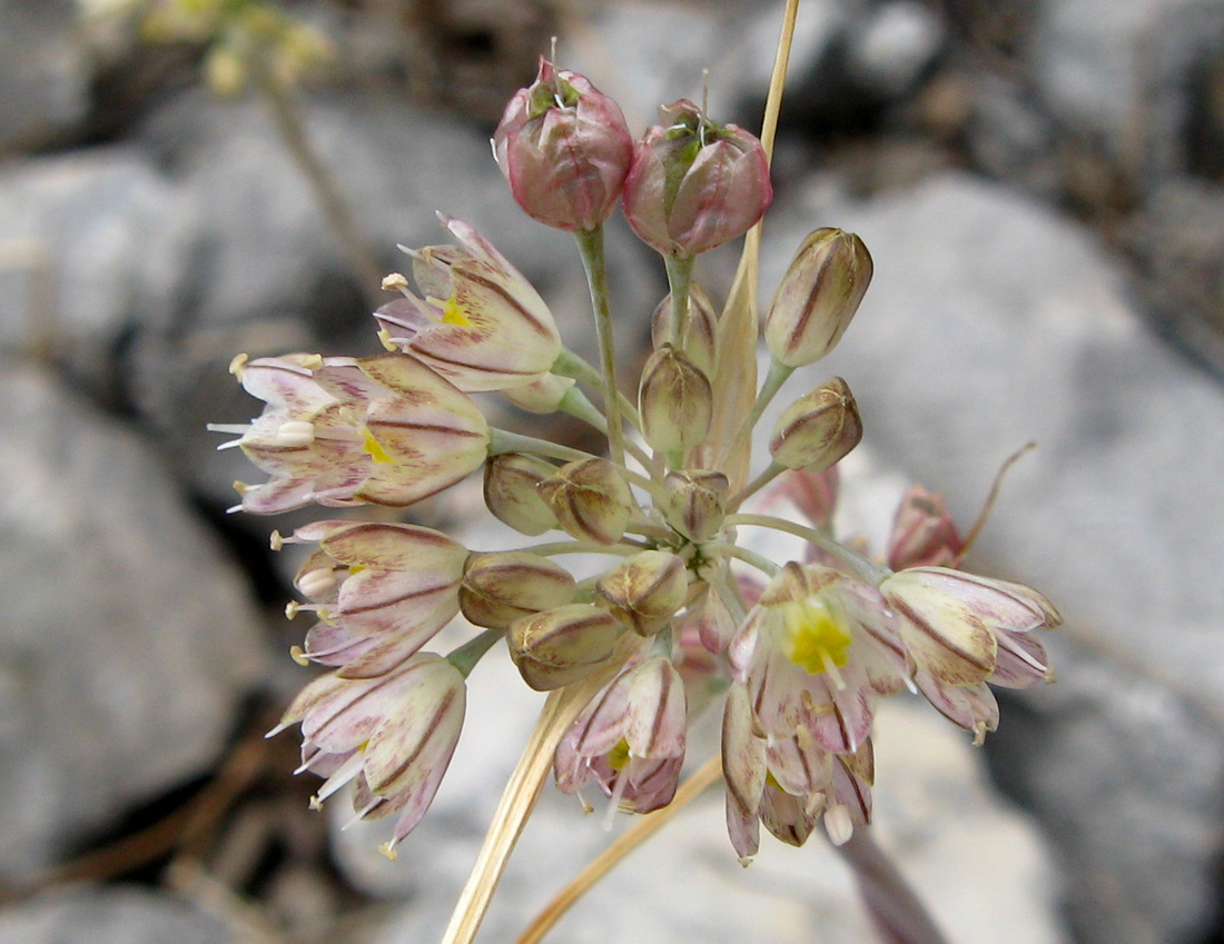
Allium rupestre Steven: Red Data Book of Armenia
EN B 1 ab(iii) + 2 ab(iii)
Category. Endangered species. It is situated in the south–eastern border of the main area of distribution. Two sub–populations are known, one of which may suffer from lime mining. The extent of occurrence and the area of occupancy are less than 500 km2. It was not included in the first edition of the Red Data Book of Armenia. It is not included in the Annexes of CITES and that of the Bern Convention.
Description. Bulbous plant. Stem 10-30 cm. Inflorescence fasciculate, usually few-flowered. Perianth campanulate; segments whitish or pinkish with purple or green midrib; oblong-elliptic, at apex with recurved mucro. Leaves narrowly linear, canaliculated.
Distribution. In Armenia it is found in Upper Akhuryan (Amasia neighborhoods) and Shirak (mountain pass Djadjur) floristic regions. EOO is 60 km2, AOO is 12 km2, the number of locations is 2. Beyond the borders of Armenia it is distributed in the Crimea, Greater Caucasus, Central Transcaucasia, and East Anatolia.
Ecological, biological and phytocoenological peculiarities. Grows in middle and upper mountain belts, at the altitudes of 1600–2200 meters above sea level, on stony slopes and on limestone rocks. Flowering in August, fruiting from August to September.
Limiting factors. Restricted extent of occurrence and area of occupancy, loss/degradation of habitats caused by road constructions and limestone mining.
Conservation actions. No conservation actions. Necessary: monitoring of the population state, establishment of new specially protected nature area on Shirak mountain range.
Suggestions
 The Ministry of Environment sent a letter international partners to draw their attention to the real danger of environmental disasters as a result of Azerbaijan's large-scale aggression towards the territory of Armenia
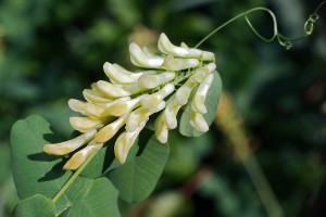 Vicia pisiformis: Red Data Book of Armenia
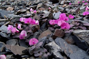 Vavilovia formosa: Red Data Book of Armenia
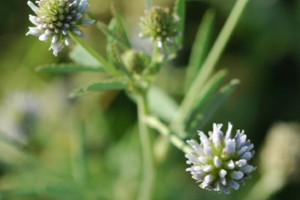 Trigonella capitata: Red Data Book of Armenia
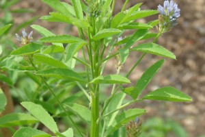 Trigonella astroides: Red Data Book of Armenia


