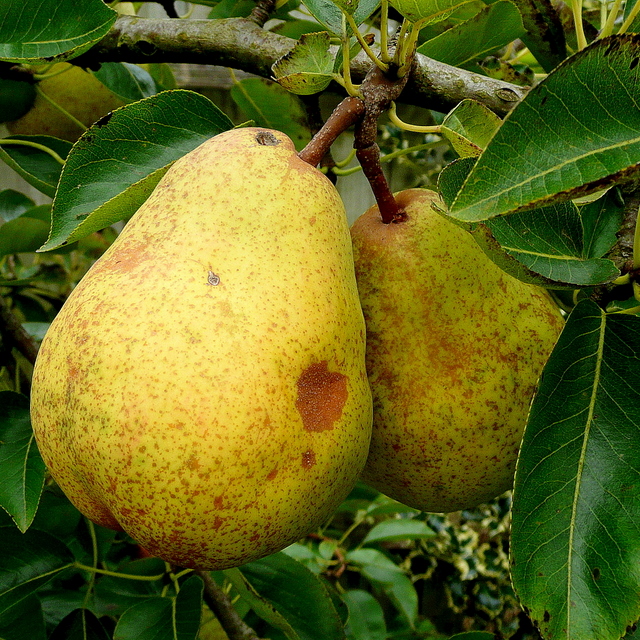
Pyrus gergerana: Red Data Book of Armenia
EN B 1 ab(iii) + 2 ab(iii)
Category. Endangered species. Endemic of Armenia. The area of distribution is fragmented. The extent of occurrence is less than 5000 km2, the area of occupancy is less than 500 km2. It was not included in the first edition of the Red Data Book of Armenia. It is not included in the Annexes of CITES and that of the Bern Convention.
Description. High spiny tree. Leaves broadly lanceolate, 7 x 2,5 cm, slightly asymmetric, at base narrowly cuneate, entire or slightly serrate at apex, from above glabrous, dark green, shiny, from below dull, sometimes slightly floccose; petioles glabrous, 2–3,5 cm long. Fruits large, up to 3,5 cm long, pyriform, in fascicles.
Distribution. In Armenia it grows in Darelegis (Herher, Djermuk), Zangezur (Srashen) and Meghri (Tashtun) floristic regions. EOO is 1850 km2, AOO is 20 km2, the number of locations is 4.
Ecological, biological and phytocoenological peculiarities. Grows in middle and upper mountain belts, at the altitudes of 1600–2200 meters above sea level, in broad–leaved forests. Flowering from April to May, fruiting from June to August.
Limiting factors. Restricted extent of occurrence and area of occupancy, habitats loss/degradation caused by land development for arable purposes.
Conservation actions. Part of the population grows in the area of "Herher" Reservation. Necessary: monitoring of the population state.
Suggestions
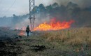
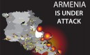
 The Ministry of Environment sent a letter international partners to draw their attention to the real danger of environmental disasters as a result of Azerbaijan's large-scale aggression towards the territory of Armenia
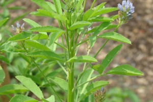
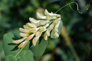 Vicia pisiformis: Red Data Book of Armenia
 Vavilovia formosa: Red Data Book of Armenia
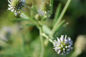 Trigonella capitata: Red Data Book of Armenia
 Trigonella astroides: Red Data Book of Armenia